favicongohere

Please use the navigation menu at bottom the Page
MenuGoHere

Historic Aerial Photos from 1995
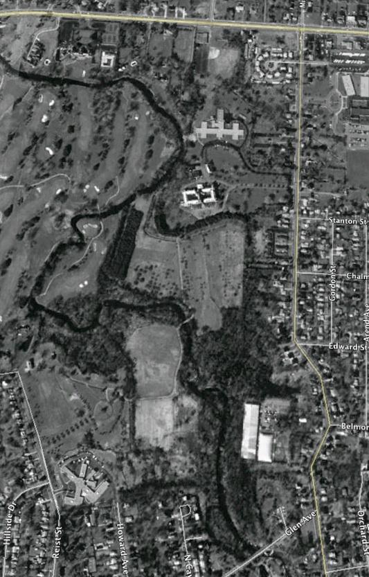
The Aerial Photo at the below was taken on March 27, 1995. This photo shows the Sisters of Saint Francis property as it existed at that time.

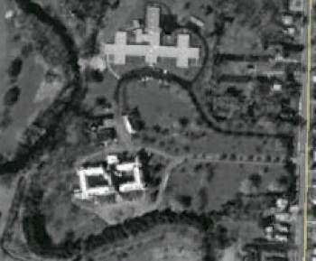
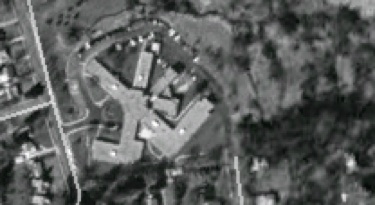
The picture above shows the St. Mary of the Angels Mother House and the Holy Family Home in 1995. Note the single entrance road from Mill Street and a small orchard
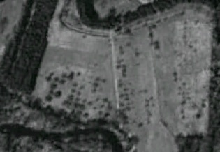
The above picture shows the Orchard that was planted below the slope. Most of the Orchard was planted on the east side of the service road in the center. Note that the tree lined walkway from the bottom of the steps through the Orchard no longer exists.
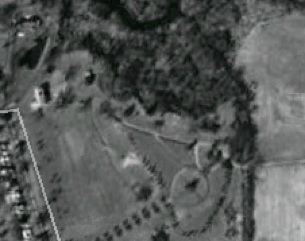
The above picture shows in the upper left the Reist Mill complex buildings which were still standing in 1995. In the center of the picture is the Cemetery and Chapel which was the site of an orchard. The area west of the Cemetery is the future site of the new St. Mary of the Angels Mother House.
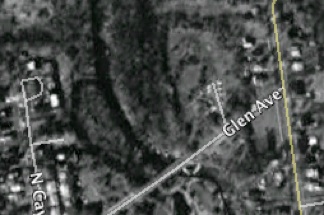
The picture above shows the area north of Glen Avenue which was the site of the Mill Pond.
The picture above shows the area north of what was Elm Street in 1854 and later a mill raceway. The photo shows the St. Francis Nursing Home of Williamsville.


AmherstStatePark.org
AMCNT Web Design Copyright 2011-15 ©
All Rights Reserved