favicongohere
AMHERST STATE PARK

Please use the navigation menu at bottom the Page
MenuGoHere
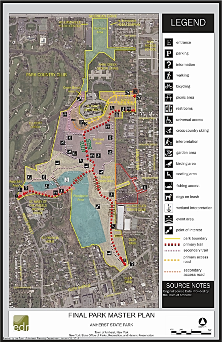
Amherst State Park Master Plan Map
Amherst State Park
Master Plan Map
-
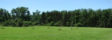
1. The Northern area of the park is the light green area on the map to the left.
-
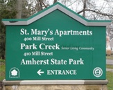
2. The Mother House area of the park is the light gold area in the center of the map to the left. The Main entrance is designated by the circled ‘E’.
-
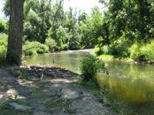
3. The Creek Bend area of the park is the light pink area on the map to the left.
-
4. The Orchard area of the park is the light purple area on the map to the left.
-
5. The Ellicott Creek area of the park is the light gold area on the lower part of the map to the left. The bottom part of this area is next to Glen Park and has an entrance to park as designated by the ‘E’.
-
6. The Flood plain area of the park is the light blue area on the map to the left.
-
7. The Reist Mill area of the park is the medium pink area on the map to the left. This area also has an entrance to park as designated by the ‘E’.


AmherstStatePark.org
AMCNT Web Design Copyright 2011-14 ©
All Rights Reserved